California's gold districts are flogged on the surface and still worth reading underground of the canopy. USGS LiDAR is how you see workings and channel form the trees hide.
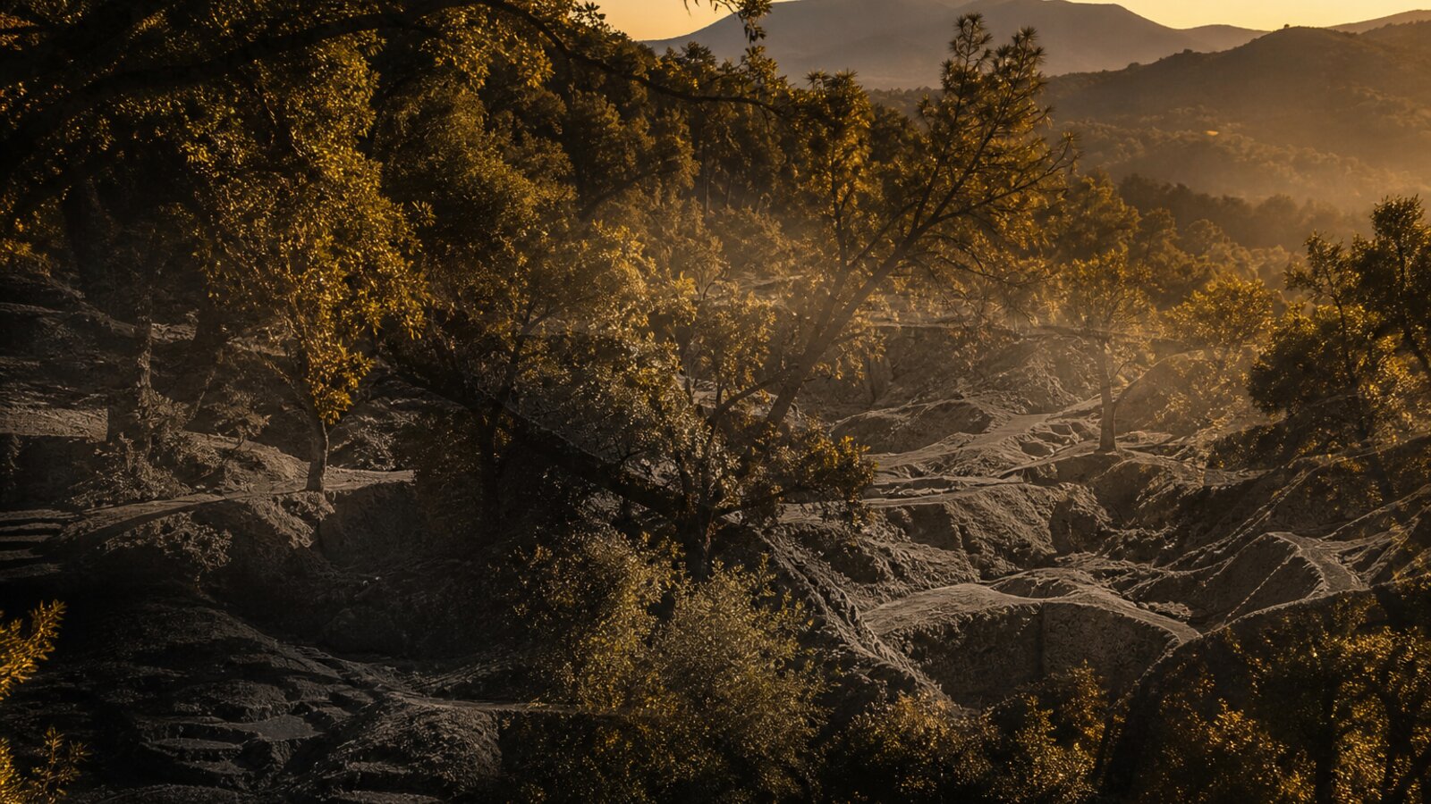
How to scout CA ground in Lodeline
- Drop a pin or open a geotagged photo from a public-access research trip.
- Read bare-earth LiDAR for benches, races, and old disturbance.
- Check the favorability score and factors. Treat it as a scout aid.
- Open nearby historical MRDS pins as history, not a claim map.
- Use official BLM / local sources for status. Get permission.
Access first
Famous names on a map are not an invitation. Private land, active claims, and closed areas are real. Lodeline helps you read terrain. It does not grant rights.
Pair this with how to read LiDAR and offline packs before a Sierra run.
Lodeline is live on Google Play
Officially launched on Google Play, free to download. App Store is coming soon. Own the toolkit once. Stop renting public maps.