LiDAR is not magic X-ray gold vision. It is a bare-earth model: vegetation stripped so the shape of the land shows. For prospectors, that shape is the story.
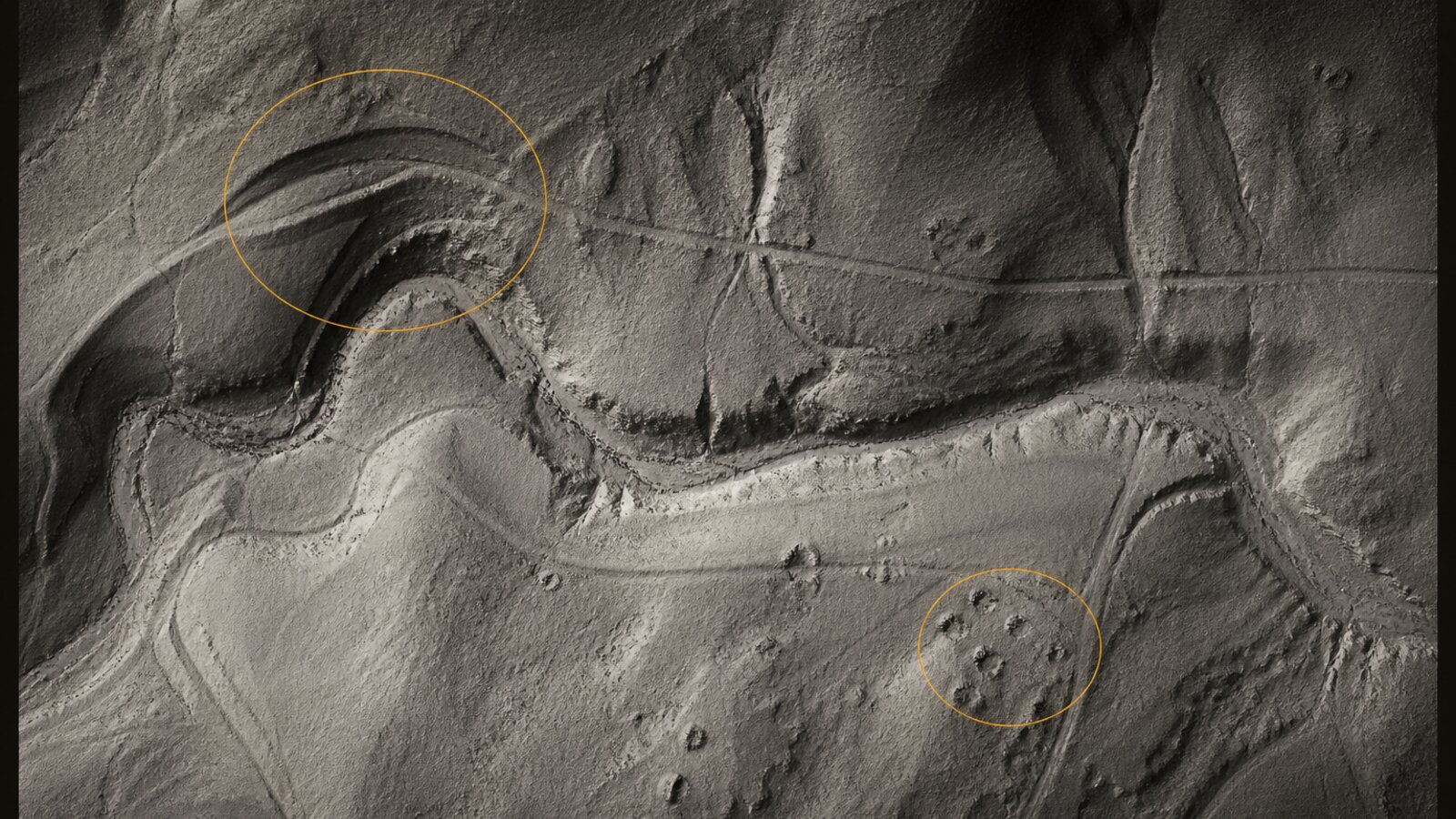
What to look for
- Old workings: pits, trenches, pad patterns, collapsed shafts that look like pockmarks in bare earth.
- Water races and ditches: long linear cuts that ignore modern roads.
- Benches and flats: stepped ground along drainages where heavy material can drop.
- Paleochannels: abandoned channel forms that no longer match the live creek.
What LiDAR cannot do
It cannot tell you gold is present. It cannot grant access. It cannot replace boots, permission, or claim checks. Lodeline's score is terrain favorability: how much the land's shape resembles classic gold-bearing ground. High is not a find. Low is not a ban. It is a scout aid.
A simple field workflow
- Pick a famous district you are allowed to research (never trespass).
- Switch to a bare-earth / hillshade-style LiDAR render.
- Mark candidate forms. Cross-check historical MRDS pins as history only.
- Check land status and access before you drive.
- Download an offline pack if you will lose signal.
For California-specific notes, see California gold prospecting with LiDAR.
Lodeline is live on Google Play
Officially launched on Google Play, free to download. App Store is coming soon. Own the toolkit once. Stop renting public maps.