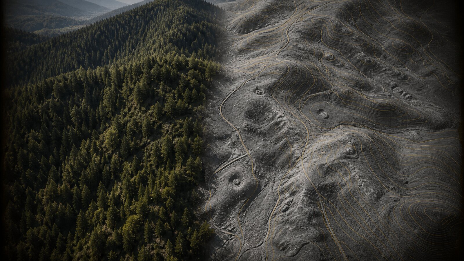
If you prospect in the United States, the elevation under the trees is often already paid for. USGS 3DEP LiDAR is public government data. You funded the flights with taxes. Overseas subscription map companies did not invent that ground. They package it, gate it, and bill you every year like it is private stock.
The punchline
Paying a foreign company a yearly fee to rent U.S. government elevation is a bad deal for American prospectors. Lodeline puts USGS LiDAR and terrain favorability on your phone. Lodeline Pro is $29.99 once. The only subscription is optional AI. Skip it and you still own the toolkit.
What "free LiDAR" actually means
"Free" does not mean someone owes you a polished field app. USGS publishes elevation and related services for the public. Anyone can build a viewer. What you should refuse is the idea that the data itself must be rented forever because a brand put a nice UI on top.
- Source: USGS 3DEP / The National Map (keyless image services Lodeline uses).
- What you see: bare-earth and related terrain renders that strip vegetation so old workings, benches, and channels show up.
- Coverage: where USGS has flown and published. Not every acre of the planet. Stated honestly.
How the rent model works
Yearly prospecting map apps often:
- Pull public geology, claims indexes, historic layers, and LiDAR from government or open sources.
- Sell "access" as a subscription, sometimes with per-state LiDAR add-ons.
- Keep you on a renewal loop for the same public ground you already paid to fly.
Packaging has value. Support has value. Offline tooling has value. Forever rent for public elevation is the part you should attack.
What Lodeline does instead
Lodeline is built in the USA on free USGS data:
- Live LiDAR terrain on the map.
- A 0-100 terrain favorability score with readable factors (favorability, not gold).
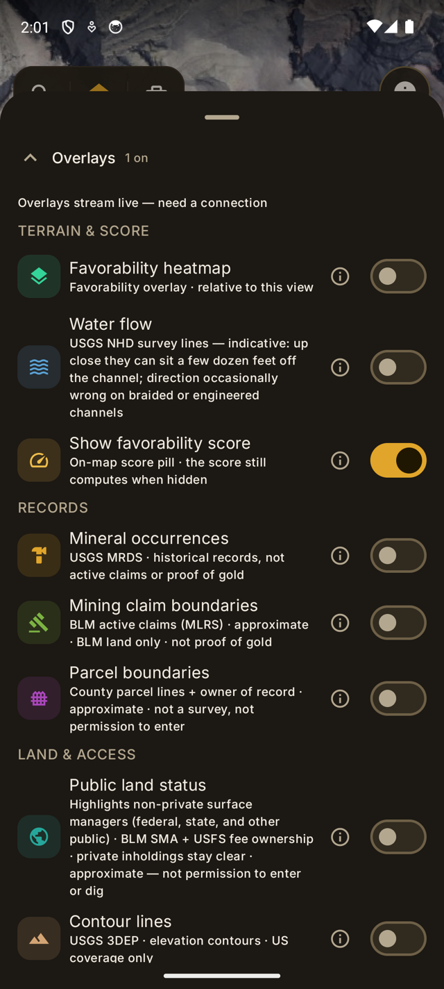
- Historical USGS MRDS mineral occurrences (history, not proof, not active claims).
- Optional AI geologist that names nearby historical mines with distance and bearing.
- Pro = one-time $29.99 for offline packs, mine overlays, claims check helpers, and the full kit.
Honesty block (read it)
Lodeline scores how good the ground looks from terrain science. It does not find gold, does not show a dollar value of gold, and does not tell you to dig. Always verify land ownership, claim status, and permission before you prospect.
What to do next
If you are tired of renewals for public data, get Lodeline on Google Play and read the companion piece on owning the toolkit once. App Store is coming soon.
Lodeline is live on Google Play
Officially launched on Google Play, free to download. App Store is coming soon. Own the toolkit once. Stop renting public maps.