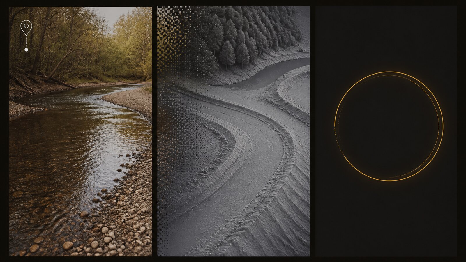
Most map apps start with a search box. Lodeline can start with a photo you already took on a creek.
The loop
- Pick a geotagged photo (Android photo picker / media location as required).
- Lodeline reads coordinates on-device.
- It fetches USGS 3DEP terrain for that spot.
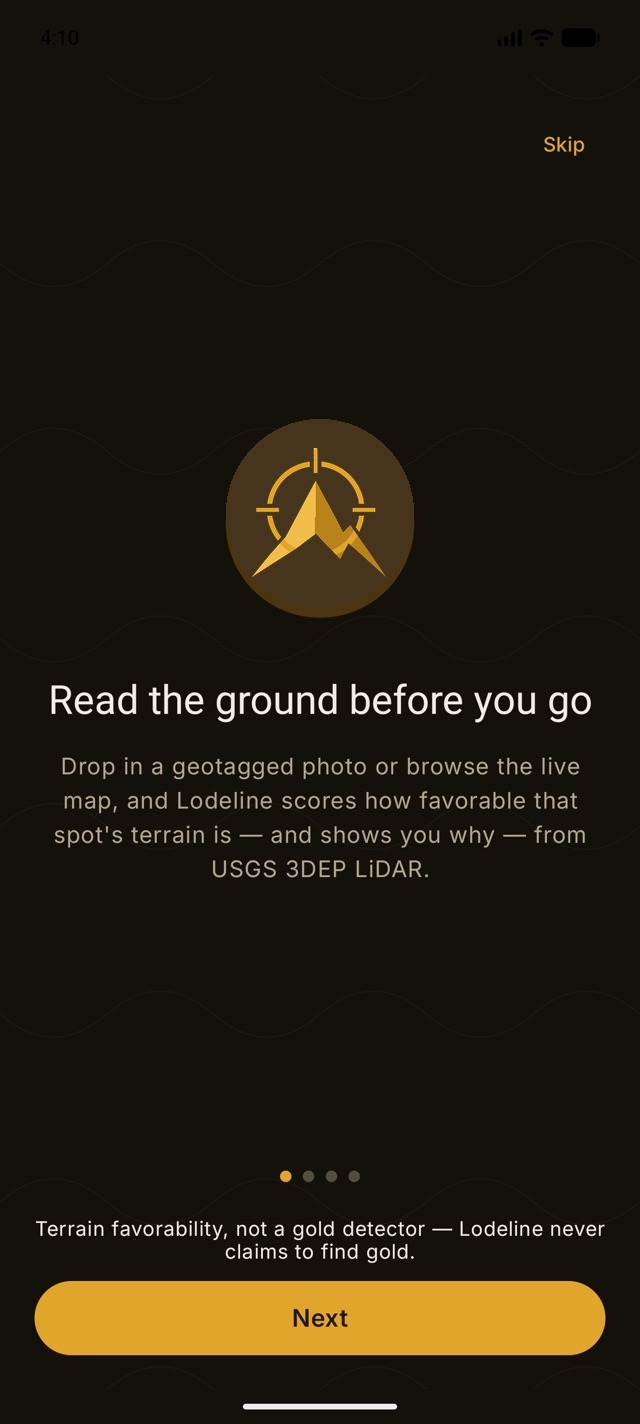
- It scores terrain favorability 0-100 and shows why.
- Optional: ask the AI geologist about nearby historical mines and host rock.
Photos are not your product feed. Lodeline is built so scouting stays local by default. AI photo attaches are explicit and stripped of location metadata before any optional upload path.
Favorability, not gold
A high score means the land's shape looks favorable. It is not a detector beep and not a dollar value.
Lodeline is live on Google Play
Officially launched on Google Play, free to download. App Store is coming soon. Own the toolkit once. Stop renting public maps.