How to read LiDAR for gold prospecting: a practical terrain workflow
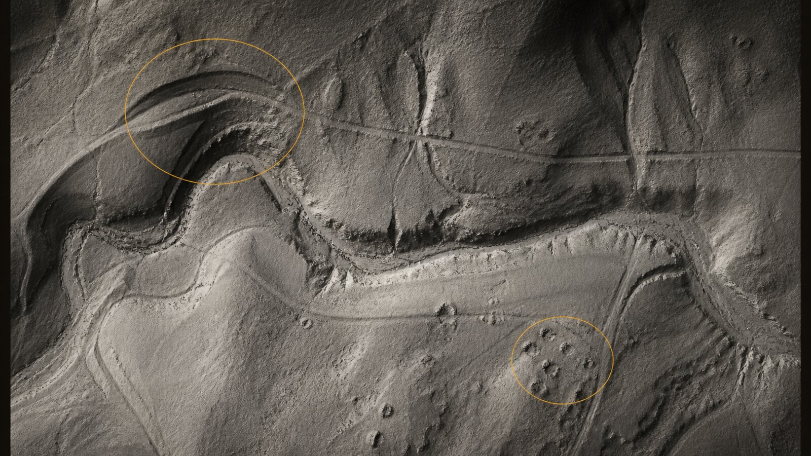
Learn to separate a useful terrain clue from a convincing false positive. Start with the drainage, compare the landforms, and leave the map with a question you can actually test.
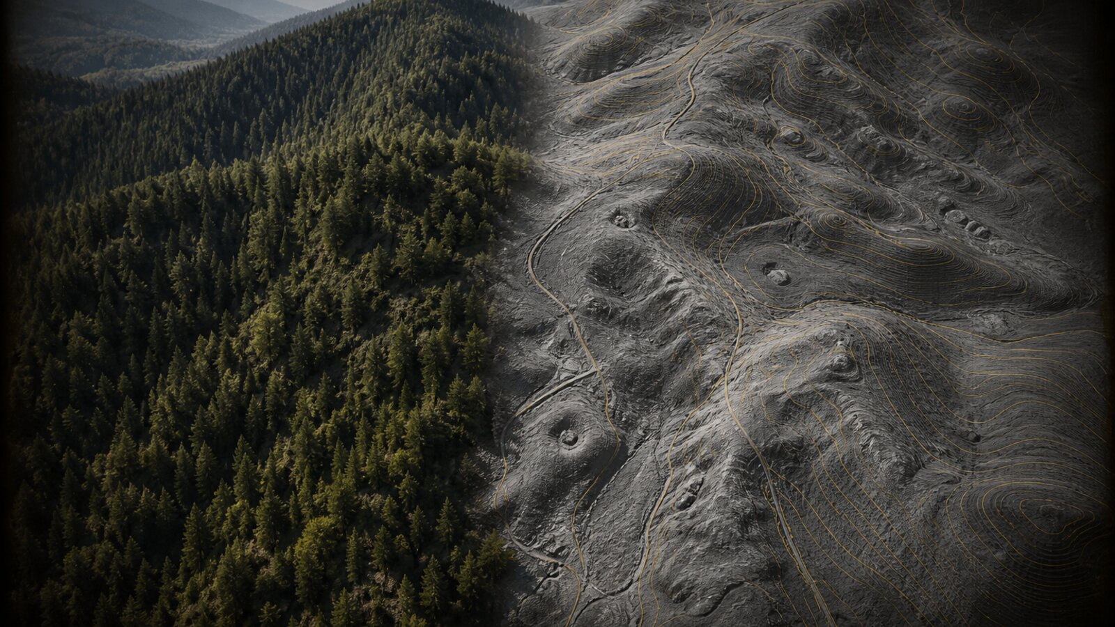
Practical guides to the ground, the records, and the preparation behind a good prospecting trip. Start with the terrain workflow, then build the field kit around it.
Eight guides · Worked examples · Primary-source references · Android and iPhone
Learn to separate a useful terrain clue from a convincing false positive. Start with the drainage, compare the landforms, and leave the map with a question you can actually test.
Public elevation is a powerful starting point. Here is how to distinguish the underlying data, the map rendering, and the field tools you may choose to pay for.
A downloaded area is only useful if it contains the views and places you need. Test the complete trip workflow while you still have a connection.
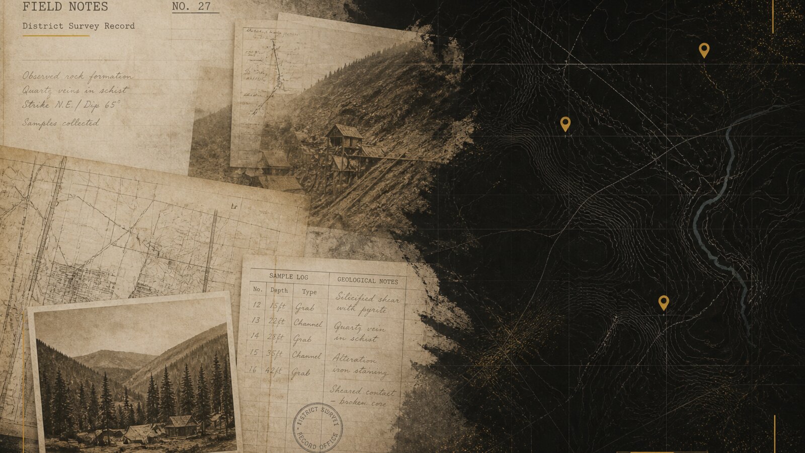
A mine pin is a lead into a historical record, not an exact working, a current claim, or a promise of gold. Read the record before drawing a conclusion.
A field photo can get you back to a location. The important next step is connecting the coordinate, the terrain, and the observation without confusing one for another.
Build a research plan for a district, rather than collecting famous place names. Combine terrain, regional geology, historical references, and current access checks.
Use the same small test for every app: understand a place, preserve the evidence, restart, and try the offline workflow. Decide from behavior rather than superlatives.
A fair price comparison starts with the work you need done, the features included, and the ongoing services you choose to use. Public data and useful software can coexist.