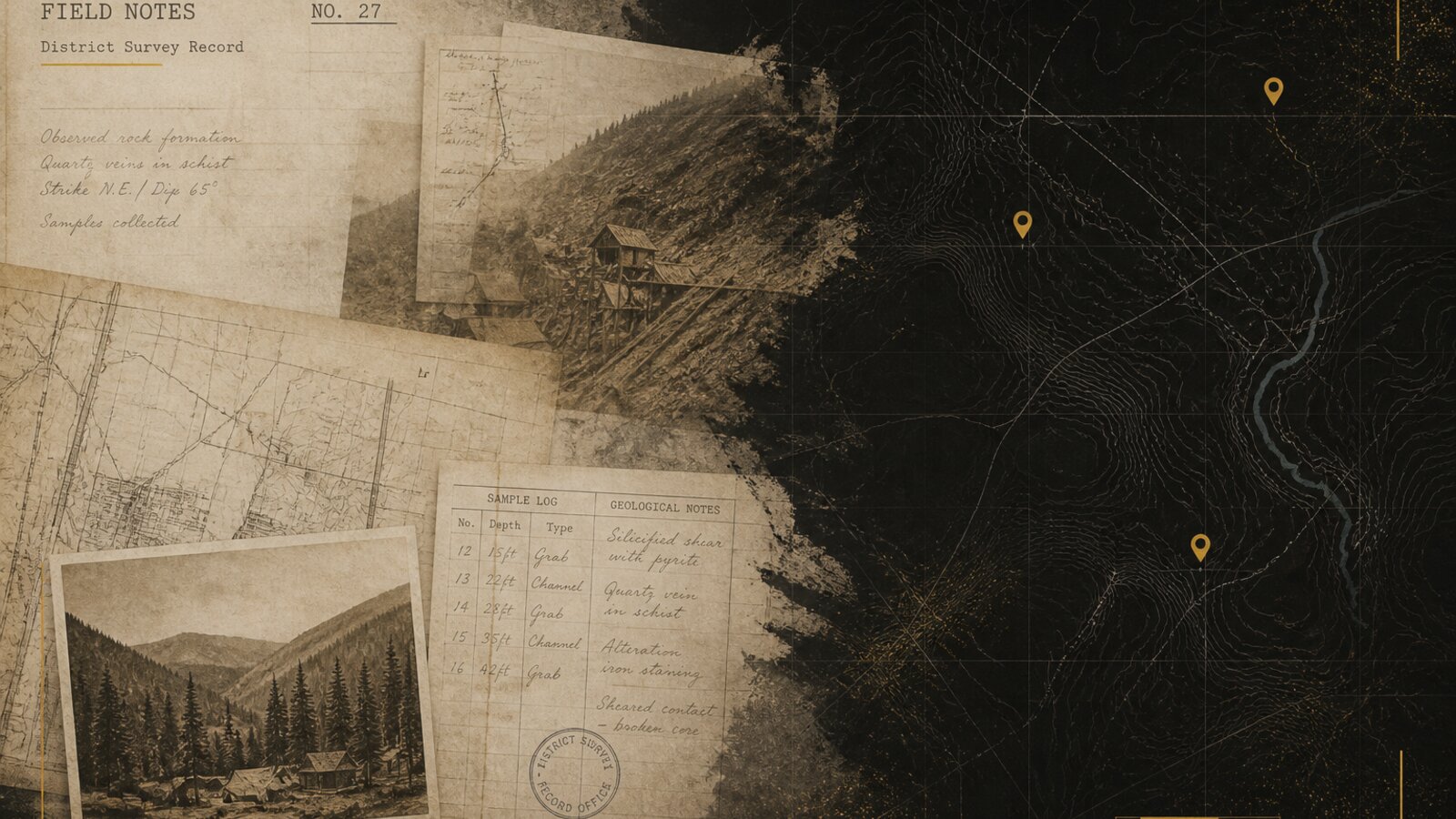
Pins on a map feel like treasure. Treat USGS MRDS pins as historical mineral occurrences, not a hunting license.
What MRDS is
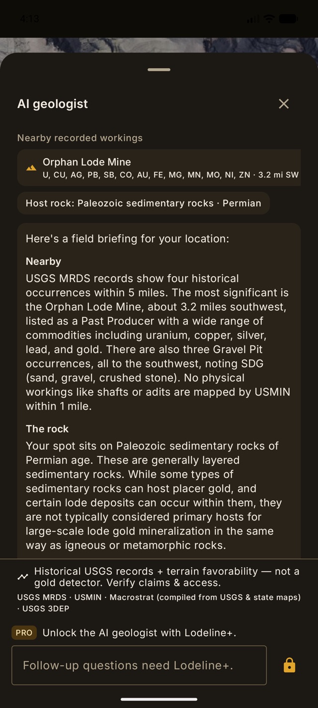
The Mineral Resources Data System is a USGS compilation of reported occurrences and past producers. Records can be incomplete, relocated, or outdated. Lodeline shows them to ground your briefing in public history.
What MRDS is not
- Not active claim status.
- Not proof gold is still there.
- Not permission to enter land.
- Not a dollar value.
How Lodeline frames it
Every serious surface repeats: historical records, verify claims and access, favorability not gold. That discipline is a sales advantage with burned prospectors, not a soft apology.
Lodeline is live on Google Play
Officially launched on Google Play, free to download. App Store is coming soon. Own the toolkit once. Stop renting public maps.